The Water Balance Model LARSIM
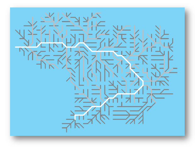
LARSIM is an acronym for Large Area Runoff Simulation Model. It is a hydrologic model, which describes continuous runoff processes in catchments and river networks. LARSIMis based on an earlier river basin model for single flood and low-flow episodes, from which it inherited the general model structure. Hydrological processes are simulated in a series of subarea elements connected by flood routing elements in a predetermined sequence. LARSIM simulates the hydrologic processes for one element for a defined time period. The resulting output hydrograph is the input information for the next element according to the general model structure rules. The model structure can be grid based or based on hydrologic subcatchments.
Since about a decade hydrological system data (e.g. land use, soil types, topography and channel data) needed for model input is digitally available for large areas in a high spatial resolution. At the same time computer speed and capacity have evolved significantly. This has made it possible to apply the model to large areas using a high-resolution grid, e.g. 1x1 km grid subareas for catchments of several thousands of square kilometres.
These features allow applications to a great variety of problems using different time and space scales. LARSIM has been used for simulations of flood protection planning, land use changes, and effects of climate change on water resources. An important function is its application to op-erational forecasts of floods, low flow and water temperature.
The use of the model by different water authorities, which articulated their particular wishes for further development and additional model features in a highly cooperative way, especially helped to develop a practically useful model. Particularly its application as a routine tool for operational forecasts of runoff and other hydrologic parameters (soil moisture, snow cover) resulted in a very reliable and stable model code.

